Quality context
Evidence should match the claim
A visual inspection, completeness review and independent position check answer different questions.
Agree what “acceptable” means before capture. Review appearance, coverage, coordinate context and positional evidence as separate questions.
A visual inspection, completeness review and independent position check answer different questions.
Specify records, review roles, issue handling and the basis for any performance statement.
Visual quality concerns whether imagery or a rendered model is clear enough for its stated use. Review sharpness, exposure, seams, color variation, artifacts and interpretability. Completeness asks whether the agreed area and features are represented, including edge conditions, exclusions and occluded zones. Positional quality concerns how well the data align with a specified coordinate reference and independent observations. These categories overlap in practice, but none can stand in for the others.
A visually crisp orthomosaic may be shifted, rotated or distorted. A well-aligned dataset may still have blurred regions, gaps or poor visibility. A dense point cloud does not automatically prove that the underlying surface is correct. For a fair acceptance decision, define distinct checks for each property and relate them to the intended use. See the orthomosaic guide and model guide for product-specific concerns.
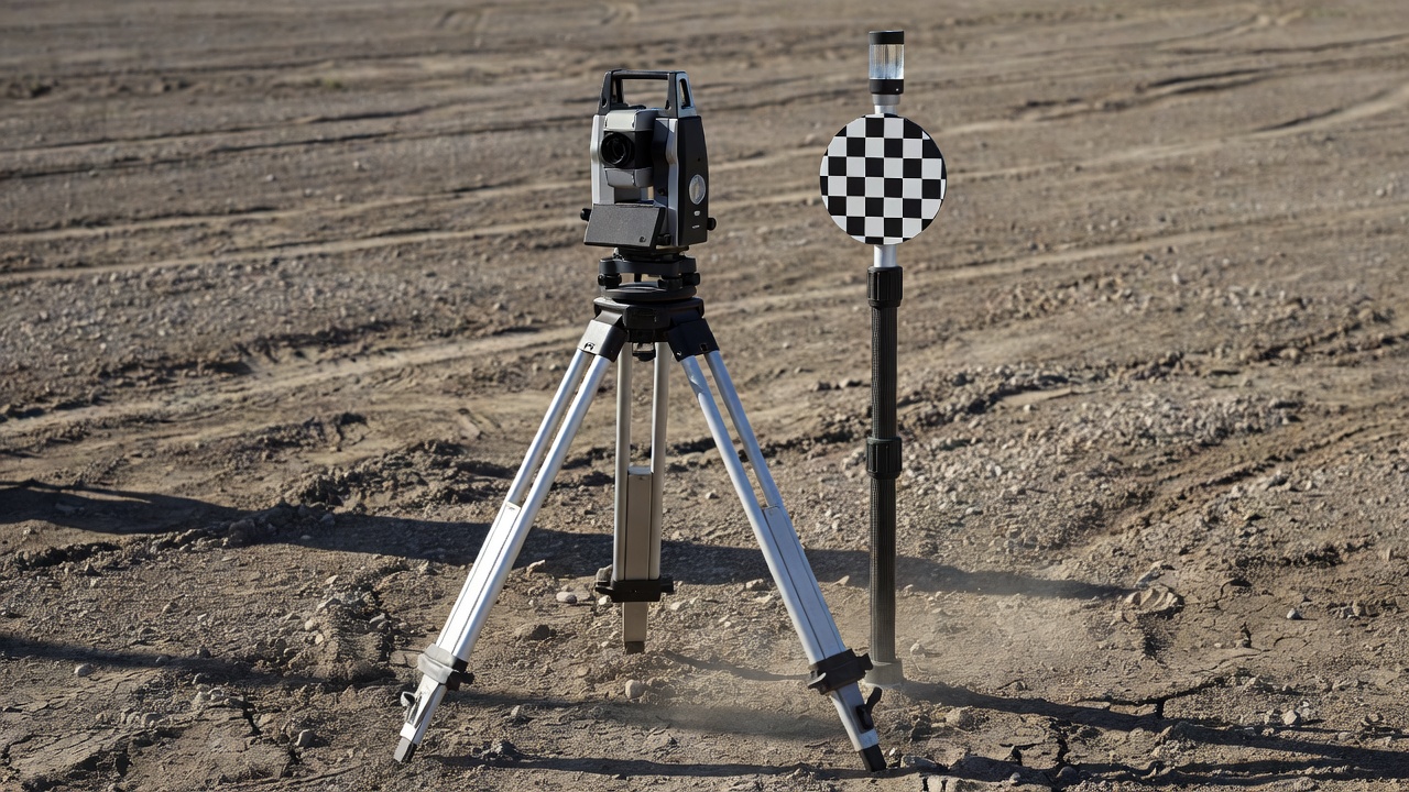
Positional claims need a reference basis, a coordinate reference, an appropriate measurement method and clearly described checks. Ground control points used during processing help constrain a solution, but their fit within the adjustment is not equivalent to an independent test. Independent checkpoints withheld from adjustment can provide more meaningful evidence of how the final product compares with reference positions. The quality of that evidence also depends on checkpoint measurement, distribution, surface type and the suitability of the reference survey.
Ask the supplier to identify the horizontal and vertical references, explain any transformations, describe how checkpoints were selected and measured, and report results in a way that can be interpreted. A statistical summary should have context: number and distribution of checks, relevant residuals, units, method and any exclusions. Avoid relying on an isolated figure without knowing what it describes. Where a project has formal tolerance requirements, obtain advice from an appropriately qualified survey professional and make the requirement explicit in the contract.
Acceptance criteria should be objective and proportionate to risk. Examples include a specified deliverable list, readable coordinate metadata, full coverage of named areas, an agreed maximum number of unresolved defects, inclusion of checkpoints and a defined report format. For visual features, identify examples or minimum usable detail. For elevation work, define surface type, units, cell size, void treatment and review method. For repeat mapping, specify common extent, alignment approach and reporting conventions.
Keep requirements measurable without creating false certainty. A sampling distance, grid cell size or file dimension is not automatically an accuracy specification. If a positional performance threshold is essential, describe the method and references that will demonstrate it, and confirm that the survey design can support that evaluation. The provider should explain limitations in advance where ground conditions or site access could affect results.
Check that expected files open in the intended software and carry coordinate information consistent with the handover note. Review file names, projection, units, timestamps, nodata treatment and area coverage. Inspect previews, metadata and readme files. Make sure the stated capture date corresponds to the work stage and that the delivered extents are not silently clipped. For large rasters or point clouds, test sample areas and confirm that tiling or indexing works in the recipient workflow.
Records may include a flight or capture log, processing summary, control information, check results, coordinate reference details, classification notes and limitations. Agree which records are necessary for your project and how they will be retained. A concise record makes the dataset easier to reuse and helps later reviewers understand its origin.
Before commissioning, determine who reviews, how much time is allowed, where issues are submitted and how the supplier responds. Distinguish a correctable defect from a scope change, a limitation disclosed in advance or a newly requested product. Provide examples and annotate locations where possible. A shared issue register can record file, area, observation, severity, owner and resolution. Agree how corrected files are versioned and how superseded data are identified.
When checks disagree, return to the stated scope and method. Confirm that reference data use the same coordinate context and that comparisons are made against appropriate surfaces. If the project requires decisions beyond the agreed scope, document the additional question and seek the right professional review rather than extrapolating from an unsuitable output.
For field methods that support these checks, continue to Capture Plans That Support the Brief.
We use cookies Essential cookies keep this site working. Optional ones help us see what is useful. You can change your choice at any time. More about cookies