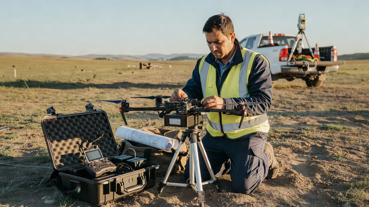
Field operations
Align field choices with the acceptance criteria
Access, control, visibility and operating constraints all influence the final product.
Work backward from the required output to a safe, feasible and reviewable capture plan. The aircraft is one part of that plan, not the starting point.
Access, control, visibility and operating constraints all influence the final product.
State what could change the scope, schedule or evidence available at handover.
A capture plan becomes easier to evaluate when the requested outputs and their intended use are already clear. Describe the decision, the people who will use the results, site boundary, required date, expected products and acceptance checks. Specify a visual map, surface or terrain model, point cloud, progress comparison, or combination, rather than asking vaguely for “a drone survey.” Identify how the output will fit existing GIS, CAD, asset or document workflows.
Provide current site drawings or a boundary file where available, and label the source and coordinate reference. Describe access arrangements, work hours, occupied areas, restricted zones, overhead obstructions, vehicle movements and known hazards. Name a site contact and explain how permissions and inductions are handled. A site walkover or planning call may be useful where the work area is complex, but it should not replace an agreed scope.
Map the complete required extent, including context outside the immediate work area if it affects interpretation. Distinguish essential coverage from optional coverage, and identify areas that can be omitted or substituted if conditions prevent safe access. Tall buildings, vegetation, steep ground, narrow corridors and reflective surfaces may need adapted capture approaches. A supplier should explain how the intended data collection supports the required surfaces and where line of sight or occlusion limits completeness.
Image overlap, camera geometry, flight height, speed, lighting and sensor choice interact. A specification should not prescribe a single recipe without considering the subject, terrain and intended outputs. Instead, describe the smallest feature or change that must be visible, relevant surface types, repeatability needs and acceptance checks. Ask the provider to explain how their proposed configuration addresses those needs and what compromises might occur.
Drone operations require appropriate permissions, competent planning and compliance with applicable rules. In the United Kingdom, operations are governed by the Civil Aviation Authority framework; European operations fall under EASA rules and national implementation. In the United States, FAA Part 107 applies to many commercial small UAS operations. Requirements vary with location, aircraft, operating category and circumstances, so confirm the current rules and authorizations with the responsible operator.
Record nearby airports, controlled airspace, people, roads, infrastructure, wildlife, sensitive locations and any other operational restrictions that may matter. Consider weather windows, daylight, wind, rain, temperature and seasonal foliage. These factors can affect schedule and data quality. Agree who makes go/no-go decisions, how rescheduling works and how delays are communicated. Do not treat a requested date as a guarantee of suitable conditions.
Georeferencing may draw on satellite positioning, ground control, established survey control or a combination. The appropriate strategy depends on the required positioning context, site access, terrain, project risk and available references. Ground control is not automatically proof of accuracy if the same observations are also used to constrain the processing. Independent checkpoints provide a more meaningful check of positional performance when appropriately measured and distributed.
In the scope, ask the supplier to describe control sources, coordinate reference, checkpoint independence and how results will be reported. Where the project uses an established grid or local datum, provide that reference and any available control records. The provider should identify assumptions or transformations and avoid implying that image sharpness or a dense point cloud alone demonstrates positional quality.
Agree processing outputs, naming, folder structure, formats, metadata and delivery method before capture. Decide whether the client needs only final products or also previews, a capture log, processing notes, point-cloud classifications, control information and quality evidence. Identify file-size limits and who will test files in the destination software. Specify whether raw imagery is included, retained for a defined period or excluded from delivery.
Set acceptance steps: who reviews, what they inspect, how a defect is documented and how corrections are handled. Ask for a concise limitations statement that identifies incomplete coverage, occlusions, unusual surface conditions and known processing artifacts. A short, transparent handover is more useful than an unexplained data folder.
Use the brief builder to assemble a local draft enquiry. Then review Quality Checks Before Handover to make acceptance measurable.
We use cookies Essential cookies keep this site working. Optional ones help us see what is useful. You can change your choice at any time. More about cookies