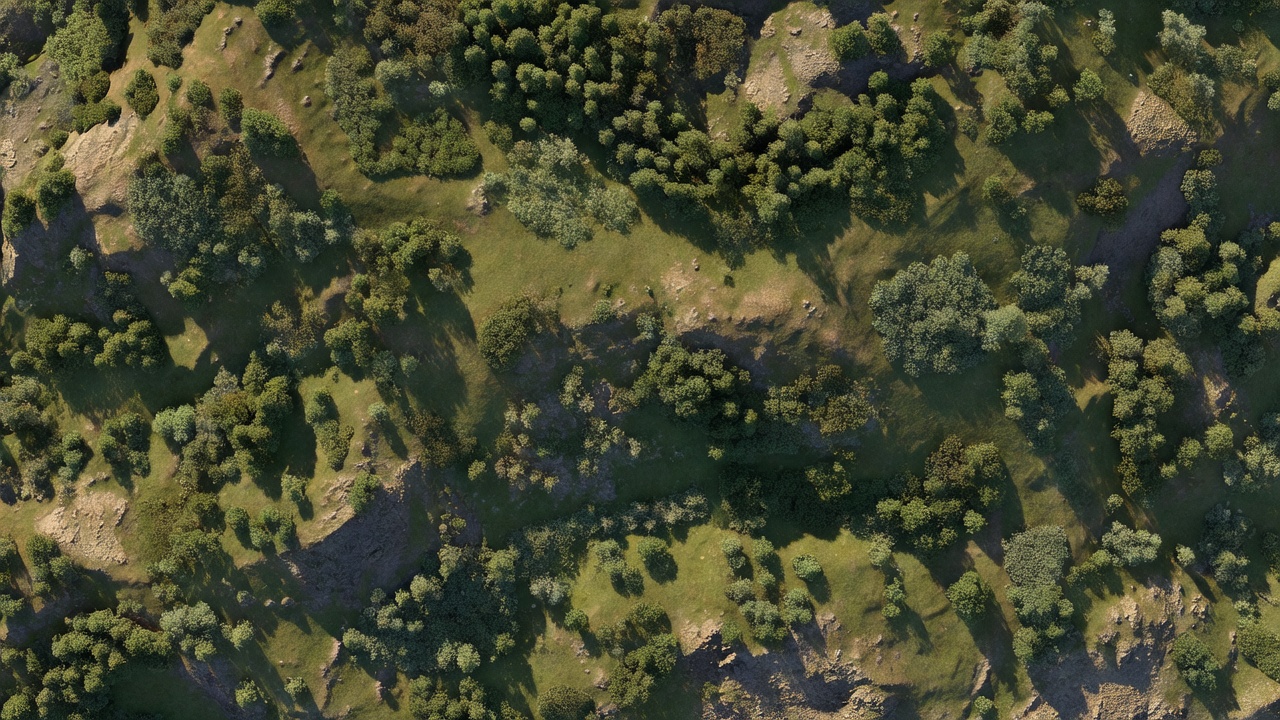
Illustrative model context
A model is an interpretation of captured evidence
Ask how surfaces were measured, classified, filtered and checked before using a raster or point cloud.
Choose an elevation product by what it represents, how it will be interpreted and which checks can support its use.
Ask how surfaces were measured, classified, filtered and checked before using a raster or point cloud.
Roof, canopy, ground and water each require different interpretation and treatment.
A digital surface model (DSM) generally represents the upper surfaces observed in the data, which may include roofs, vegetation and other objects. A digital terrain model (DTM) is intended to represent bare-earth terrain, but its derivation depends on observations, classification and interpolation. A digital elevation model (DEM) is used broadly for gridded elevation data and may refer to either kind of representation in a particular specification. Ask the provider to define each term for the project rather than assume labels mean the same thing across suppliers.
Photogrammetry reconstructs surfaces from overlapping images. It can describe visible roofs, ground and other textured surfaces, but a view blocked by canopy, a building or a steep face is not a direct measurement of what lies behind it. Classification and interpolation can create useful surfaces from observations, yet the resulting model should not be confused with direct observation everywhere. If a project needs ground elevations under dense vegetation, establish whether aerial imagery is suitable or whether another method is needed.
Surface models can support roof or stockpile context, site visualization, preliminary drainage assessment, construction progress comparison and planning workflows. Terrain models can support grading context, catchment analysis or landform interpretation when their data source, resolution, coverage and limitations fit the intended task. These are not blanket suitability claims. A model for conceptual comparison may not meet the requirements of design, setting-out, legal boundary work or safety-critical engineering.
Before procurement, describe the smallest meaningful feature, the expected vertical changes, site cover and required comparison dates. Tell the supplier whether the output will be rendered as a shaded surface, sampled at points, compared to a prior model or combined with other survey data. If repeat work is needed, specify how surfaces will be aligned, how change will be computed and how areas of missing or unreliable data will be handled.
Cell size is not the same as vertical accuracy. A fine grid can be generated from data that do not support equally fine, reliable surface detail. Request the cell size, source data description and an explanation of how the model was produced. Identify the vertical coordinate reference and units explicitly; a height may be ellipsoidal, orthometric or tied to a local project datum. Conversion between height systems should be documented, not guessed from a file name.
Ask how the supplier handles breaklines, edges, water, low-texture areas, tall vegetation and buildings. If a DTM is requested, ask for classification rules and a view of the classified point cloud or representative sections where appropriate. If a DSM is needed, ask what roof edges, tree crowns or thin structures may be lost through interpolation or rasterization. The required level of explanation should match the project risk and use.
Common deliverables include georeferenced elevation rasters such as GeoTIFF, point clouds such as LAS or LAZ, contour lines and three-dimensional meshes. Each supports different tools and workflows. A raster is convenient for many GIS analyses; a point cloud retains individual observations and classifications; contours simplify selected height intervals but omit much of the underlying surface detail. Request a preview and a data dictionary or readme so users can identify units, coordinate systems, nodata values, classification codes and processing choices.
Review hillshade and color-relief views as visual aids, not substitutes for source data. Inspect representative cross-sections, edges and areas with changing surface cover. Look for spikes, pits, interpolation artifacts, voids and mismatches with known surfaces. A visually smooth result can hide filtering or generalization; a rough-looking point cloud may contain raw observations that need classification. Ask for clear disclosure of edits and interpolation.
Agree how the model will be checked before work starts. Independent checkpoints should be appropriate to the site, target surface, distribution and intended use. Ground checkpoints and surface checkpoints may answer different questions. Specify how residuals will be summarized, what coordinate reference will be used and how areas with no valid observations will be reported. A single vertical statistic without a method, sample description or reference context is difficult to interpret.
Where change detection is the purpose, establish consistent extents, surface definitions, registration and reporting thresholds. The difference between two surfaces combines the uncertainties and differences of both datasets and their processing. Request a note on alignment and on how the team distinguishes actual change from data noise, vegetation movement or acquisition differences.
Continue with the quality checks guide or plan the field work in Capture Plans That Support the Brief.
We use cookies Essential cookies keep this site working. Optional ones help us see what is useful. You can change your choice at any time. More about cookies