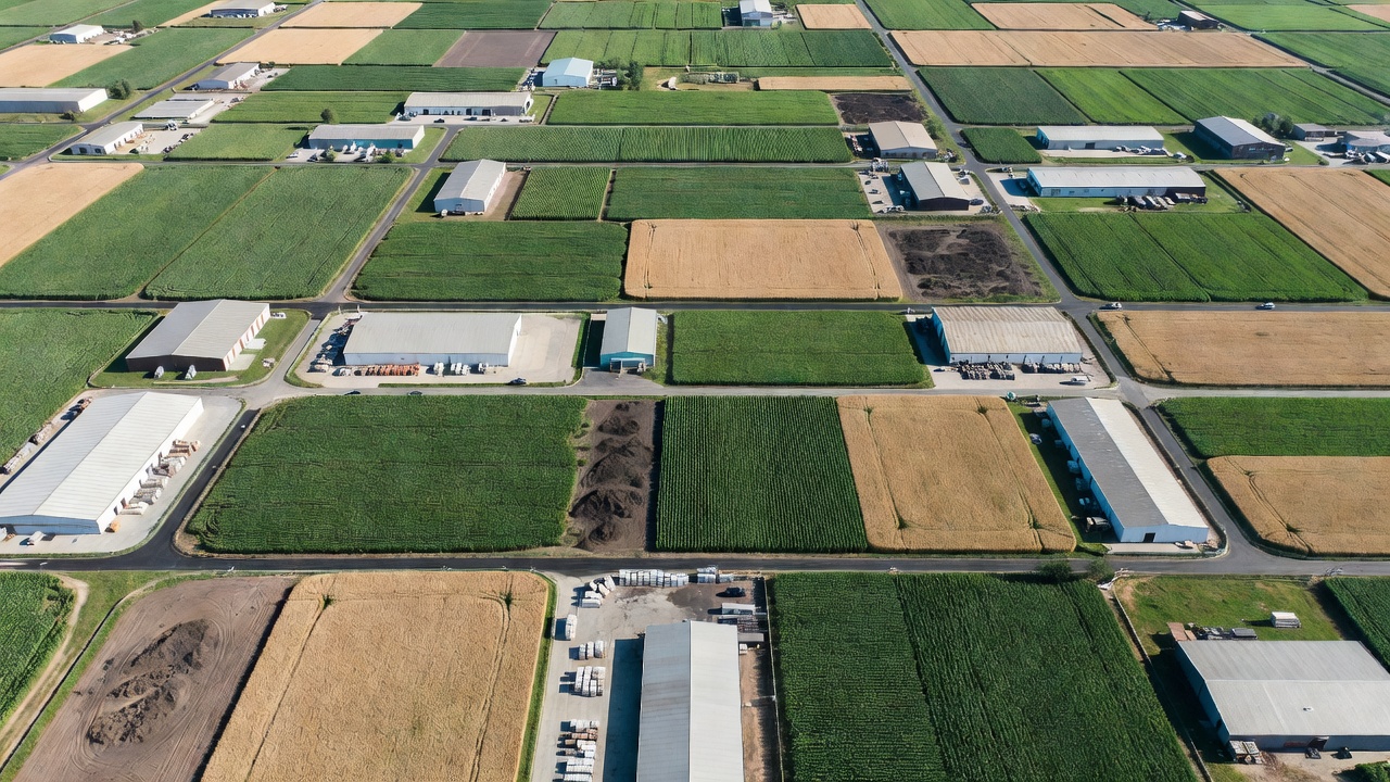
Illustrative map context
Begin with the question, not the pixel count
The image is only useful when its extent, date, detail and location reference suit the decision.
Specify the image product around the job it needs to do: inspect, compare, measure visible features or communicate site context.
The image is only useful when its extent, date, detail and location reference suit the decision.
Decide whether the mosaic is for visual site records, construction coordination, asset inventory, land-use review or a base layer for a GIS. Different readers need different context, labeling and file delivery. State what the product will support and what it will not be used to establish. A visual record may be adequate for progress discussion; a boundary or engineering decision may require separate survey evidence.
Provide a usable site outline and identify areas that matter most. Include access roads, working compounds, adjoining context or buffers if those are needed for interpretation. A small boundary can be misleading when an adjacent feature affects the decision. Note exclusions, sensitive areas, anticipated change and any required capture window. A site captured at a different stage of work may not answer the same question, even if the map appears detailed.
Coverage is more than a footprint. Ask how the supplier will treat edges, shadows, reflective roofs, moving plant, water, tree canopy and occluded spaces. Clarify whether the output will include complete coverage, transparent or blank regions, a data mask, or a note describing limitations. Where repeat surveys are planned, agree an extent and naming convention that make comparison straightforward.
Ground sampling distance is a description of image sampling on the ground; it is not an assurance of positional accuracy or a promise that every feature can be identified. Relate requested detail to the smallest feature that must be visually interpreted, then discuss the capture and processing choices that can reasonably support it. Ask how the supplier will report the delivered image’s pixel size and whether its appearance has been checked for blur, seams and inconsistent exposure.
Specify the horizontal coordinate reference system by name and, where useful, EPSG code. Identify any vertical reference need separately. In Great Britain, Ordnance Survey National Grid and the relevant height reference may be appropriate for a project, but the correct choice depends on its location and integration requirements. Do not assume that a file’s coordinate system can be inferred from its visual appearance. Request the georeferencing information in the data and a short note in the handover.
A GeoTIFF is widely used for georeferenced raster imagery and can carry coordinate information. Large projects may be delivered as tiled or cloud-optimized rasters, with overviews to improve display performance. A JPEG or PNG may be convenient for a quick visual report but can omit geospatial information or use lossy compression. Request both a working geospatial product and a lightweight preview if different users need them. Confirm file size, tiling, compression, coordinate reference, naming and whether the file opens in the project’s GIS.
Ask for a clear file inventory, a preview image, metadata and a readme. The metadata should identify the capture date, delivered extent, coordinate reference, pixel size and any relevant processing or coverage caveats. A portable file without a readme can still create avoidable ambiguity when it is handed to a new team.
Review image continuity, seams, edge coverage, duplicated or missing areas, sharpness and obvious processing artifacts. Compare the output against known site features and any available reference information. Visual inspection can identify a seam or an omission; it does not by itself establish positional accuracy. Where position matters, agree independent checkpoints and review their results separately, using a stated method and suitable reference coordinates.
In your procurement brief, define how issues will be recorded and resolved. Specify a reasonable review period, the person who accepts the deliverable, the revision process and the final file structure. Keep the original capture and processing records if they form part of the agreed handover. A repeatable acceptance process reduces subjective discussions about whether a mosaic simply “looks right.”
For the next step, compare the mosaic with surface and terrain models, or create a capture plan based on your intended use.
We use cookies Essential cookies keep this site working. Optional ones help us see what is useful. You can change your choice at any time. More about cookies